Mail box
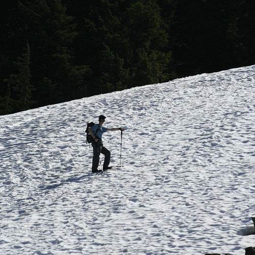
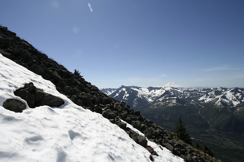
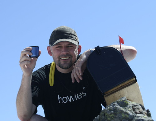
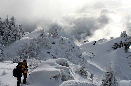
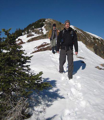
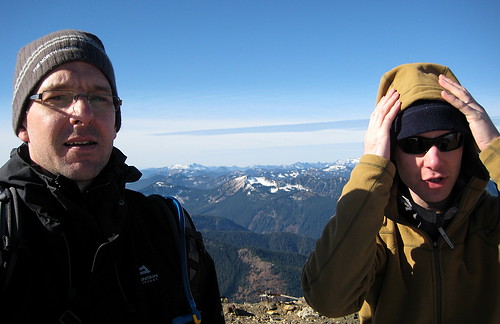
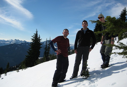
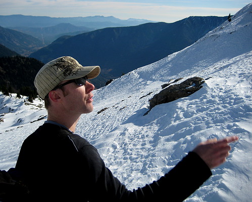
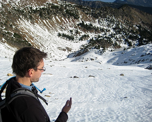
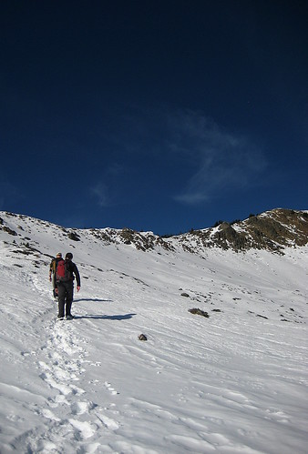
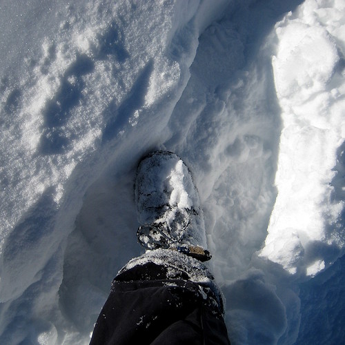
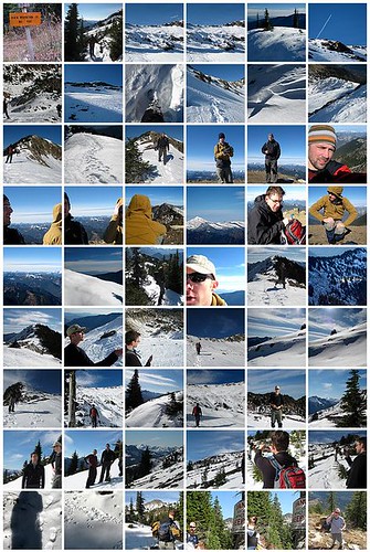
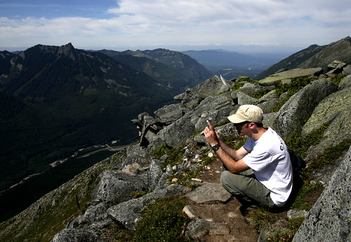
An early start on Saturday for a hike up Mail Box Peak
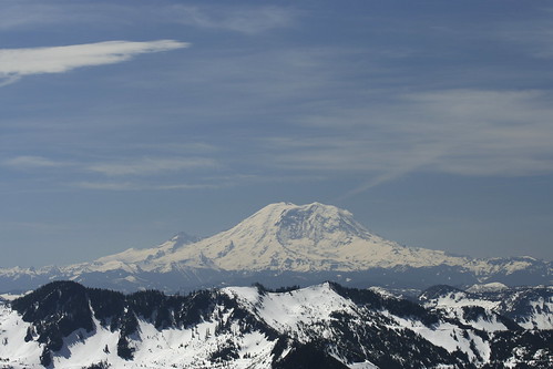
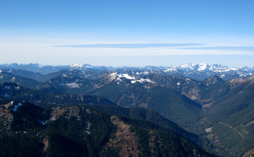
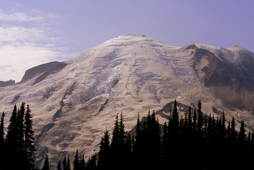
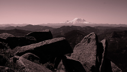
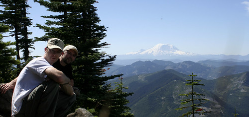
Pretty spectacular views of Mt. Rainier to the SE, but the haze meant downtown Seattle was only _just_ visible.
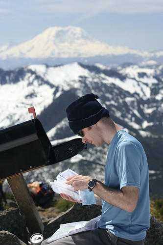
It's called Mail Box Peak because there's a mail box on the top! Martin had a good riffle through the contents, but there was no ice cold beer to be found.
Slog
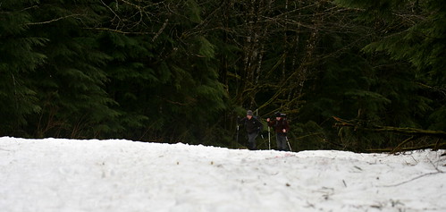
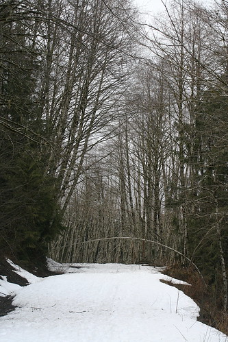
A plan to summit Mount Pilchuck turned into a workout slog up forest service road 2124.
What would have been a nice 2 hr hike to the starting point at the trail head with snow shoes... wasn't.
Lessons learnt:
1. In winter, check trail head accessibility as well as planned route.
2. Long hikes to trail heads are easier with snow shoes and/or x-country ski's (when there's snow around that is).
3. Snow cover on the ground is very dependent on tree coverage.
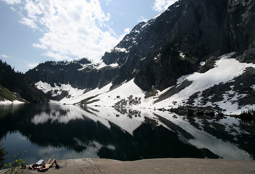
4. When a nice alternative like Heather Lake presents itself, go for it.
Fourth time
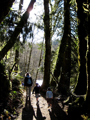
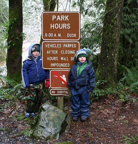
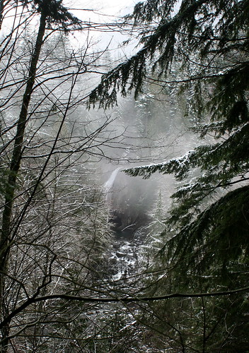
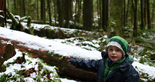
On the fourth attempt we did the twin falls hike!
Attempt 1:
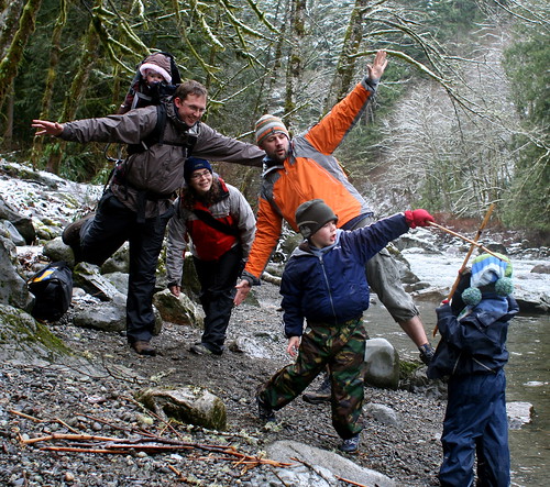
rain stopped play so we hunted yeti instead
Attempt 2:
made it, only backwards
Attempt 3:
snow stopped play
Note: This post was updated on 2020-11-28 to fix broken links
small walk in the snow
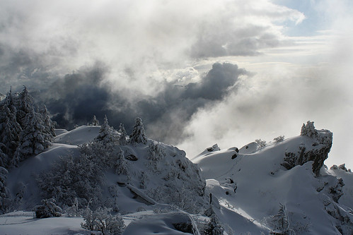
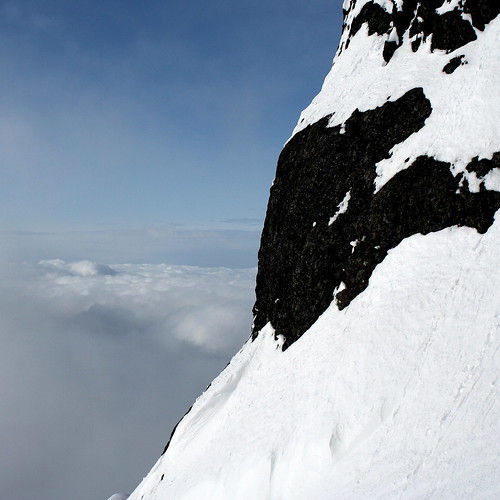
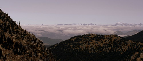
Admiring the views from above the cloud base, well, some of it.
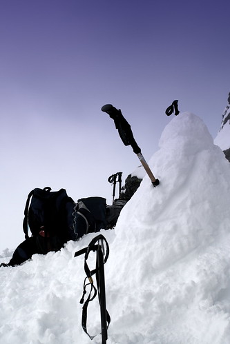
The snow man was purely an exercise in keeping warm.
Sitting on cold snow while scoffing some lunch was probably a mistake.
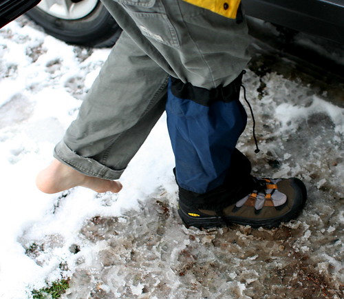
Local advice told us that the most important decision when going into the mountains is the correct selection of foot ware.
Some foot ware however is rather fussy about the selection of hiker.
Planning
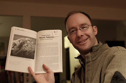
Plans for 2008 include bagging at least one of the
Cascade Volcanoes
.
Mount Adams
, at 12,276 ft, is likely to be our first target but the real fun will be the training hikes.
[Pssst: If Fay asks, Rainier and Baker are not on the agenda ;-)]
Rattlesnake Hike
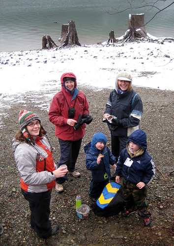
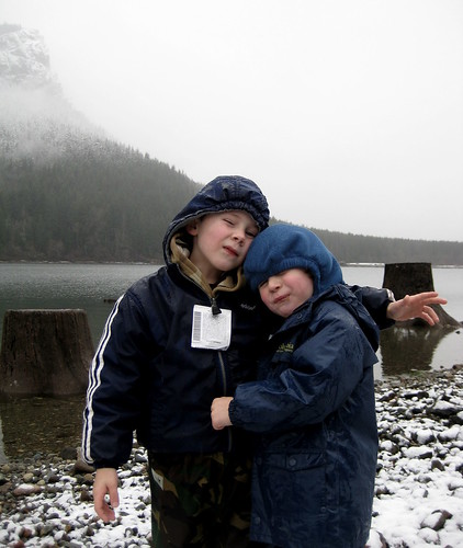
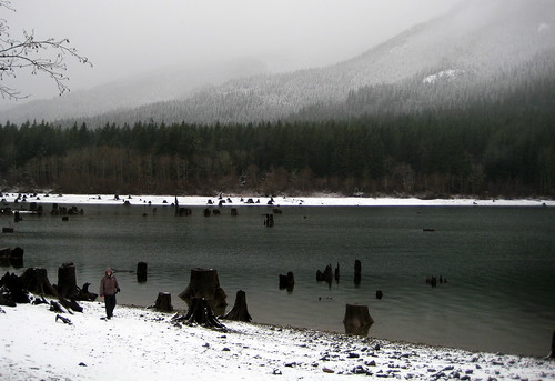
The plan was to hike up to rattlesnake ledge , but the weather was worse than expected and the snowline had dropped since the excursion to twin falls so instead we walked along the lake.
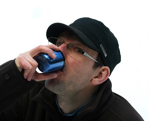
The rock mountain crew will be please to hear that the new tea thermos performed well.
Note: This post was updated on 2020-12-19 to fix broken links
Twin Falls Expedition
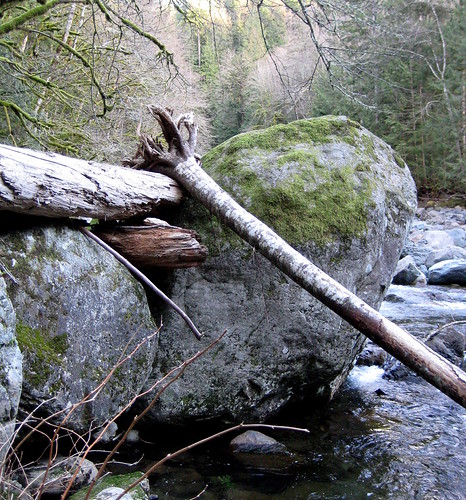
This time we did the waterfall hike frontwards .
and made it as far, in the snow, as the overlook for the lower fall which was just enough for Amelie's first cross country expedition Note: This post was updated on 2020-11-30 to fix broken linkscannon from ecola
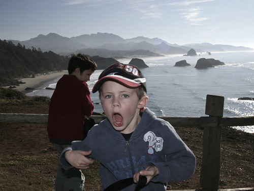
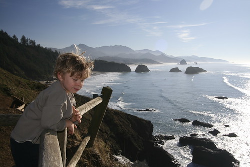
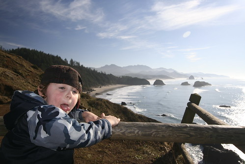
A little south of seaside is Ecola State Park with rather oar-somme views of Cannon beach
quite a spot for a spot of lunch
followed up with a mini-hike along the cliff...
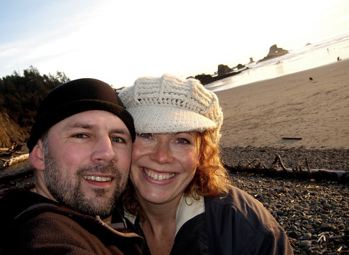
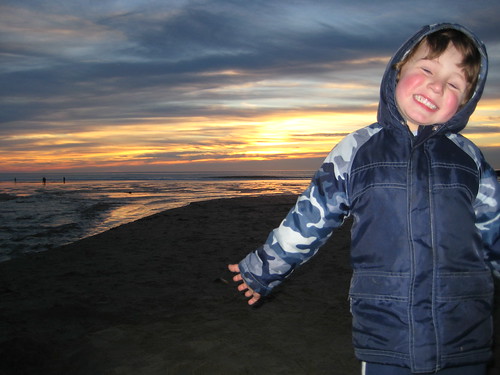
...to Indian beach and another amazing sunset
Water break
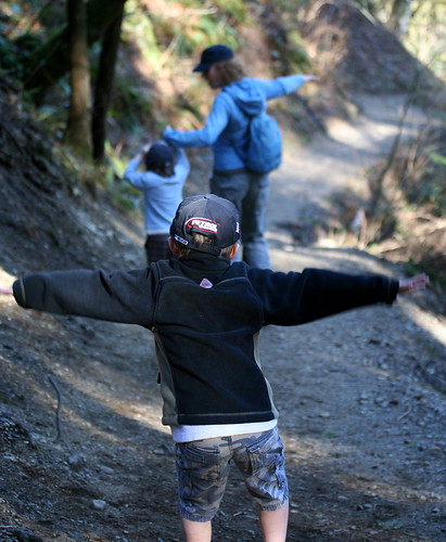
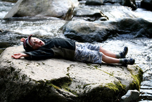
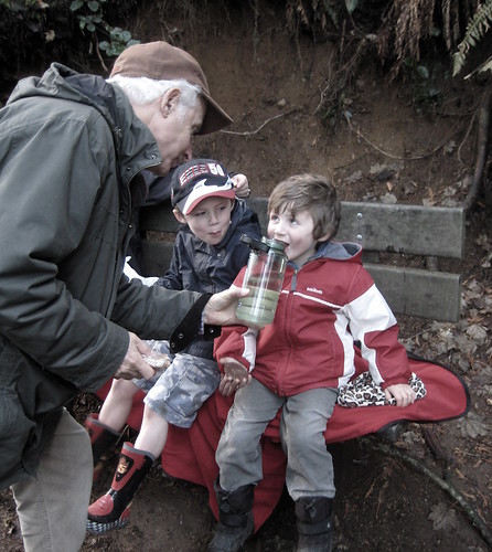
A small hike with granddad and Rachel to the falls at Olallie State Park. We did the hike backwards, because dad missed the exit.
Note: _This post was updated on 2020-11-30 to remove broken links_
Rock (hard) mountain
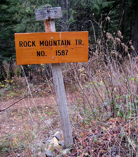
Saturday fun: A little spot of very fresh air on Rock Mountain Trail (
map
).
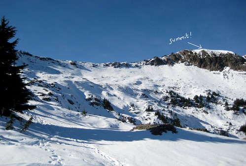
4,000 ft elevation gain to 6,880-ish and a jaw dropping view.
Weekend Rainier Hike
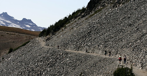
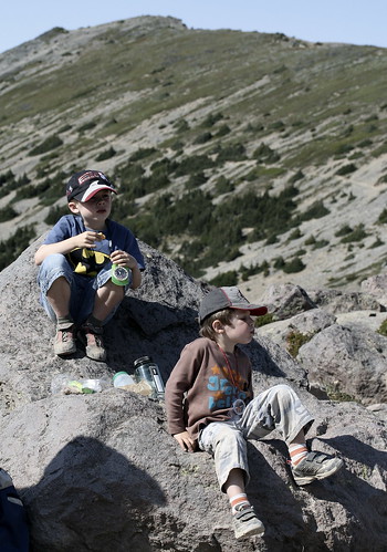
A little 4+ mile hike with the gang from Sunrise to Frozen Lake
along Sourdough Ridge and the odd scree slope
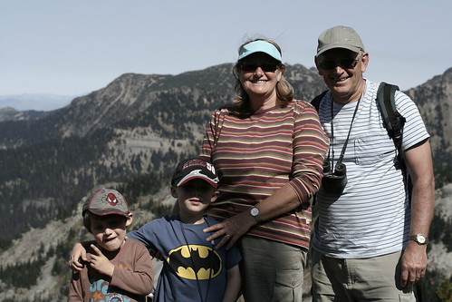
great views and great company
and two very good little hikers to boot!
More for family on flickr .
Clouds
After a long stretch of amazing weather, we awoke yesterday to cloudy skies, not a patch of blueness in sight. The obvious remedy was to drive up to Sunrise for a little clear air and a small 4+ mile hike with the boys (more of that later). This was the view north from Sourdough Ridge — Mount Baker is just visible on the horizon line to the right (that's about 130 miles north), and we live over to the left, underneath all that cloudy stuff.
[ TerraServer ]
Bandera
Fay & the boys are away so Martin & I took the opportunity for another 'not child friendly hike' . This time we did Bandera Mountain and Mason lake; the guide thought the views were worth the steep ascent — and it was right.
More pictures on flickr .
Note: This post was updated on 2020-11-30 to fix broken links
Most Serene
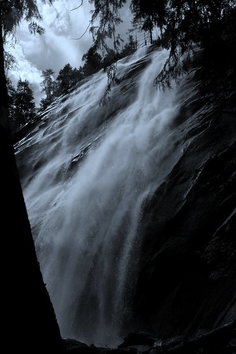
2500ft altitude gain in 3.6 miles (oh, that's not including the quick jaunt up to Bridal Veil Falls and back) so this was a hike sans-kids.
Hard work for unfit people like me, but the reward at Lake Serene was more than worth the effort. Thanks much++ to Martin for getting it together (although compared to cycling over theHimalayas, I think we had it easy). more on flickr and on local.live.com Note: This post was updated on 2020-12-24 to remove broken linksPage 3 / 3
